
Grey Glacier facts begin with its icefield setting
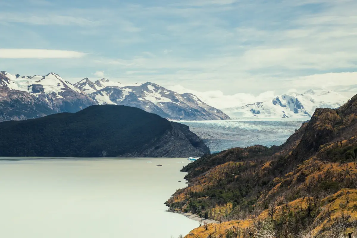
Grey Glacier facts make most sense when the glacier is placed within the Campo de Hielo Patagónico Sur, the Southern Patagonian Icefield. The surrounding national park lies in the Chilean region of Magallanes y Antártica Chilena, in Última Esperanza province. The glacier, lake and mountain approaches belong to a connected landscape, but they offer different visitor perspectives. Seeing an iceberg from the shore is a different experience from approaching the icefront by boat.
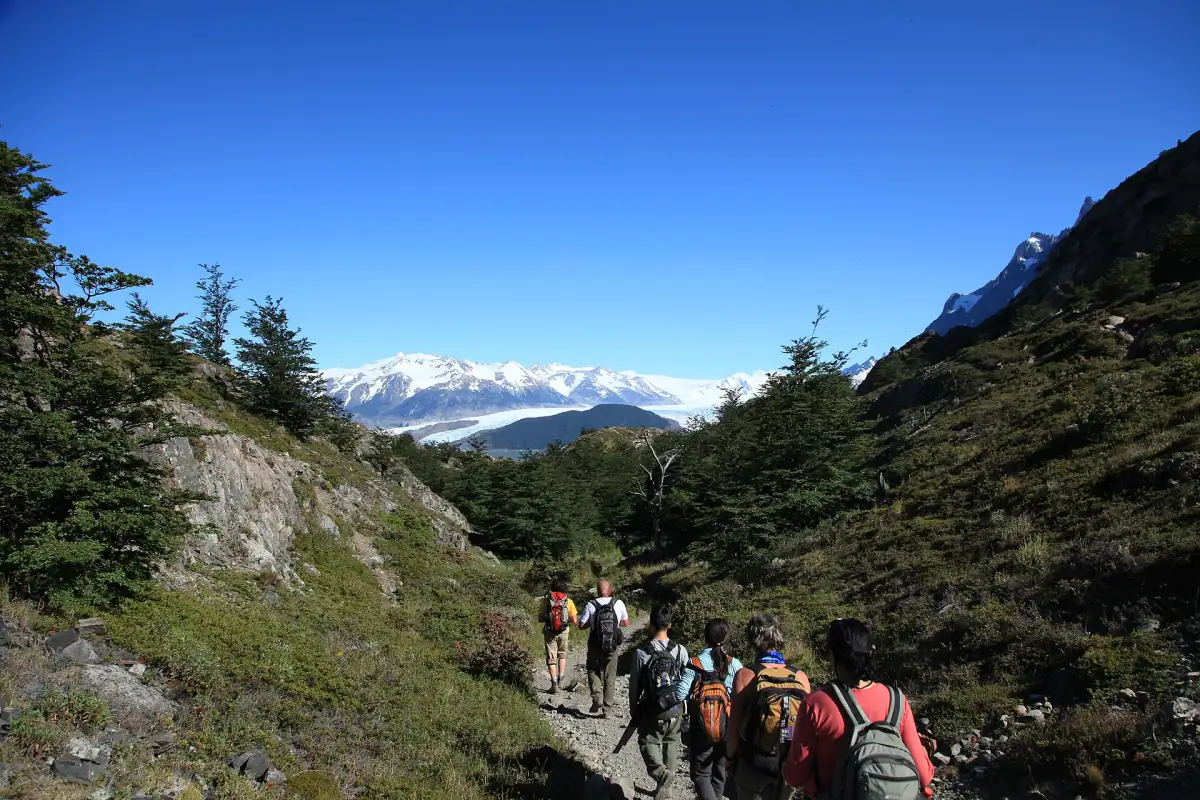
For a visit, use that distinction before deciding how close the itinerary needs to go. A southern-shore walk provides a lake perspective, navigation takes the visitor onto Lago Grey, and the mountain-side walking route approaches the Grey sector from Paine Grande. These are ways of understanding the same setting rather than different names for one excursion. The Grey Glacier overview introduces the visit options, while the walking guide explains the Grey section on foot.
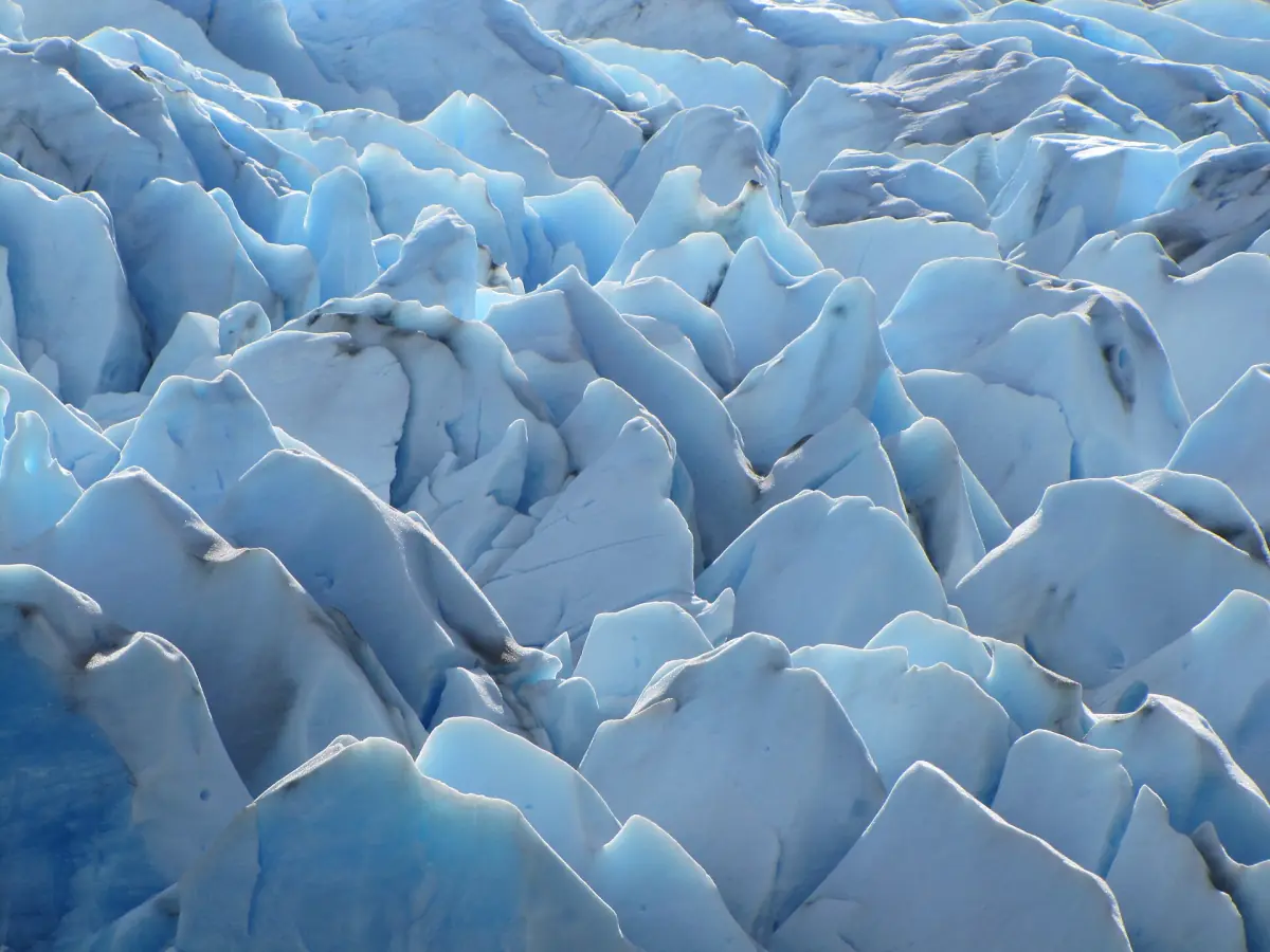
Calving, floating ice and moraines
Calving is the process in which ice breaks away from the glacier and produces floating pieces in the lake. It connects the glacier front with the ice seen on the water. In its account published on 25 June 2007, NASA described this process alongside the glacier landscape. Use that explanation to connect a view of floating ice with the glacier, without expecting a particular calving event during a booked visit.
Moraines consist of rock material transported by the glacier. They are part of the landscape story alongside the ice itself. Looking at rock and ice together helps a visitor move beyond a single photograph of the front. A sightseeing cruise can provide a perspective on the glacier and floating icebergs, but its purpose is the landscape visit. The offered round-trip navigation includes a drink and views from the water; it is not a specialist history tour.
See the glacier from the lake
This scenic cruise offers a lake perspective on the ice; arrange your own access and allow for wind, weather changes and possible cancellations.
Hand-picked tours, booked through Viator. Prices are indicative starting prices in US dollars (as of October 2026). Tap a tour for live availability and the current price in your currency.
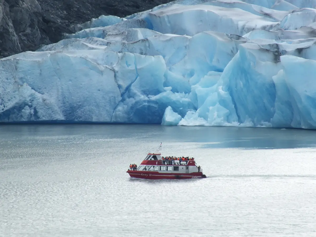
See the glacier landscape from Lago Grey
A scenic round-trip cruise provides lake views of Grey Glacier and floating icebergs, with a drink included. This is a landscape visit rather than a history tour.
Reading the historical images without turning them into current measurements
NASA published a comparison of images from 1986 and 2007 in its account dated 25 June 2007. It described retreat in all three glacier tongues shown in that historical comparison, particularly the western tongue. Those images provide a dated record of change. They should be understood through their own observation dates, rather than used as a diagram of the glacier front on the day of a present visit.
The same historical account gave an area of 270 km² and a length of 28 km for 1996. The year is essential to understanding those figures: they describe a historical measurement, not the current size of Grey Glacier. Keep them attached to 1996 when reading or discussing the landscape. A present-day boat view and a historical satellite image can both be informative, but they answer different questions and should not be treated as equivalent measurements.
In that 2007 account, NASA linked the observed historical retreat probably to regional warming and changes in precipitation. This is a dated explanation of the change discussed there. It does not supply a current annual loss figure for a visitor guide. The useful approach is to retain the historical dates and the described processes, rather than convert the comparison into a calculated retreat rate or predict a particular future view.
A short park-history context
The park was founded on 13 May 1959 and received UNESCO biosphere reserve recognition in 1978. Its original name, Parque Nacional de Turismo Lago Grey, placed the lake in the park name; the municipal history describes a renaming two years after foundation. These details place Grey within the history of the protected landscape without turning a glacier visit into a complete history of the wider park.
The broader park context belongs with Torres del Paine National Park. For a Grey-focused visit, keep attention on the relationship between the lake, the icefield and the different approaches. The early park name is useful context for the prominence of Lago Grey, while the dated image comparison provides a separate account of physical change. Neither replaces the practical decision about how to see the glacier during the trip.
Choose a perspective and respect the conditions
The southern lake approach and the mountain sector need different transport plans. A car can reach the southern sector, while mountain Grey and Paine Grande have no car access. Grey navigation takes place on Lago Grey; the Pehoé catamaran connects Pudeto and Paine Grande on another lake. A Lago Grey sightseeing round trip does not allow an exit at the refuge. Use the arrival guide and boat guide to turn the landscape interest into the right route.
Wind and rapid weather changes affect the visit, and boat or glacier activities may be cancelled. Leave time to adapt and carry the separate park ticket alongside any boat reservation. Stay on marked paths, follow ranger instructions and keep a respectful distance from animals without feeding or disturbing them. A landscape visit works best when observation fits the conditions. For the seasonal side of that preparation, read the weather and visiting season guide before fixing the onward schedule.
Questions about this visit
What creates the floating ice?
Calving releases pieces of glacier ice into the lake. A visit does not promise a particular calving event.
Are the figures of 270 km² and 28 km current?
They refer to 1996 in the NASA account published on 25 June 2007. Read them as historical measurements.
Is the featured cruise a history tour?
It is a scenic round trip on Lago Grey with views of the glacier and floating icebergs, plus a drink.